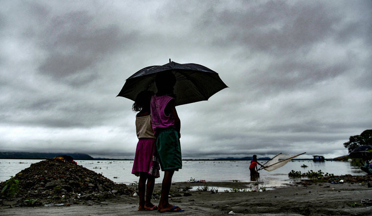
Thanks to the La Nina planning to continue her presence during the monsoon months, the Indian Meteorology Department has upgraded the prediction of India's southwest monsoon rainfall from 99 per cent of the Long Period Average (LPA), as per the initial longcast, to 103 per cent of the LPA.
The LPA is the average rainfall calculated over a period of time, and is updated every few decades. The present LPA is calculated over the period between 1971 and 2020 and is 87 cm for the entire season (June to September).
La Nina is a climate pattern over the tropical Pacific west of South America and causes a drop in sea surface temperatures. It is usually paired with the El Nino, a pattern that warms the sea surface temperatures. Thus, oceanologists study the two systems together, as the El Nino Southern Oscillation (ENSO). From the perspective of India's southwest monsoon, El Nino brings less rain, La Nina brings more.
If the forecast goes right, this would be the fourth consecutive year with normal or above normal rains. Dhananjay Mohapatra, director general of the IMD explained that the Indian monsoon follows a cyclic pattern with variations in rainfall spread over decades. From 1971 onwards, the overall precipitation has been on the decline. However, the monsoon is at the end of its less rain phase and entering into one which will have much more precipitation. “The decades from 2021 to 2040 will have many more above normal monsoon years,'' he said.
Today's forecast should bring widespread cheer to most parts of the country, as IMD predicts above normal rains in Central and south India and normal rains in northeast and northwest India. The rainfall in the core rain fed areas (where agriculture is rain-dependent) is also expected to be above normal. However, the irony is that some of the wettest spots in the country are staring at below normal rains. This includes parts of southern India, mainly Kerala and the southern parts of the north east, including Meghalaya, Mizoram, Tripura, parts of Assam, West Bengal and Chhatisgarh.
Declining overall rainfall in the northeast over the last decade has been documented by the IMD. This does not mean that the rains are less in every place, or they are reduced every year. However the pattern is clear that the northeast India is receiving less rain than before. Why this is happening -- is it just the monsoon's maverick behaviour, is it linked to climate change or changed land use -- will require more investigation. Meghalaya is the wettest spot on earth.
Incidentally, northeast India had an unexceptionally wet summer.
The best news for the north Indian plains, which have endured heat waves from March to May, is that there aren't likely to be any of those spells in June. While summer comes to an end in peninsular India with the advent of the monsoon, in the north, June remains the hottest month. The charts however, predict lower than normal maximum and minimum temperatures for the northern plains, though raised temperatures for the north western and north eastern hills.


