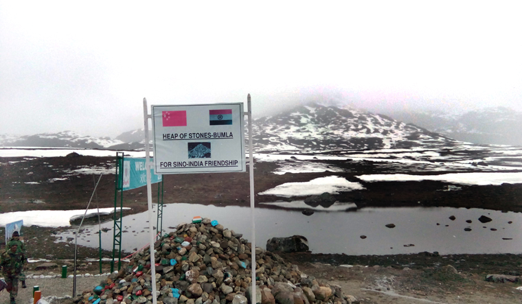
Indian and Chinese military patrols have a curious standard operating procedure (SOP) on the McMahon Line that purportedly draws the frontiers of India and China across Arunachal Pradesh and is considered the de facto border between the two Asian giants.
No one carries guns unless notified earlier. Even when a weapon is carried, the barrel points downwards, and not towards the adversary. And when patrol teams confront each other, a banner drill is held after which both sides step back to their respective positions in a coordinated manner. That is why despite the violent brawl of December 9, not a single shot was fired.
This SOP has been effective in maintaining tranquility on the stretch of the McMahon Line. Issues usually resolve fast and easy. Except on certain days, like on December 9.
A source in the security establishment familiar with Friday’s violent brawl said: "It began as a company level confrontation with about 80 troopers on both sides. After about 45 minutes of a free-for-all, reinforcements were summoned by both sides. And it ended as fast as it had begun. On Friday, hot words were exchanged before punches were thrown. It then became a free-for-all with sticks being used liberally. Both sides saw a number of injuries."
The incident spot was at Tawang Sector’s Yangste, a disputed border stretch that had seen another violent brawl on September 28 last year. Chinese forces have been seeking the control of a dominating feature on the high-altitude stretch which includes a about 5,180-metre-high peak.
There is a sense of the Chinese angst over the India-US joint military exercise at Uttarakhand’s Auli from November 17-December 2, just about 100 km away from the Line of Actual Control (LAC) with China.
From west to east and stretching from Ladakh, Uttarakhand, Himachal Pradesh, and Sikkim to Arunachal Pradesh, the India-China border is about the 3,488-km-long. It straddles one of the world’s most difficult and extreme terrains on the Himalayas. Accessibility is difficult, oxygen is scarce, and the climate hazardous with winter temperatures plummeting up to minus 30-40 degrees centigrade.
Divided into the western, central and eastern sectors, the problem with most parts of the LAC is that it is not clearly demarcated, leading to perceptional differences of where the border lies.
Ever since the ongoing border tension broke out in April-May 2020, both India and China have mobilized and deployed more than 1,00,000 soldiers along with war-like equipment along the LAC and in depth areas.
While the ongoing tension is most palpable in the western sector in eastern Ladakh, the most serious threats lie in the eastern sector where China claims Arunachal Pradesh as its own, calling it 'Southern Tibet.'


