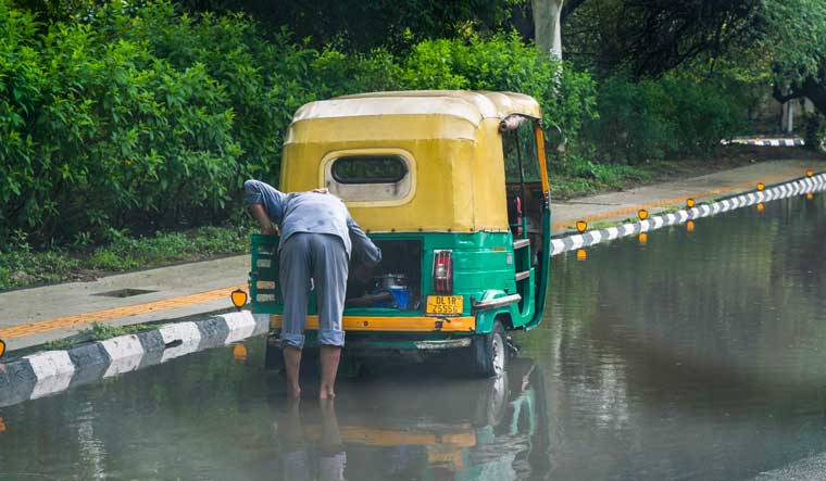
Monsoon has arrived in Delhi and Mumbai in a rare occurrence where it covered both states together. Interestingly, the rain hit Delhi two days before expected, as the initial India Meteorological Department (IMD) forecast was that the national capital could expect its first showers by Monday.
However, its entry to Mumbai was two weeks late. "The Southwest Monsoon has advanced over Mumbai and Delhi today (June 25)," an IMD official said.
The monsoon had a slow start due to several factors, including Cyclone Biparjoy. It usually reaches Kerala by June 1, Mumbai by June 11, and the national capital by June 27.
Residents of the NCR region, including Noida, Gurugram, Faridabad and Ghaziabad, woke up to a rainy Sunday with heavy rainfall with lightning and thunderstorm.
The Regional Weather Forecasting Centre (RWFC) has predicted light to moderate intensity rain over and adjoining areas of the entire Delhi and NCR. "25/06/2023: 06:05 IST; Light to moderate intensity rain would occur over and adjoining areas of entire Delhi and NCR ( Loni Dehat) Yamunanagar, Kurukshetra, Kaithal, Narwana, Karnal, Rajaund, Assandh, Safidon, Barwala, Jind, Panipat, Hissar, Gohana, Gannaur, Hansi, Siwani, Meham, Sonipat, Tosham, Rohtak, Kharkhoda, Bhiwani, Charkhi Dadri, Mattanhail, Jhajjar, Palwal, Aurangabad, Hodal (Haryana) Saharanpur, Gangoh, Deoband, Shamli, Muzaffarnagar, Kandhla, Khatauli, Sakoti Tanda, Hastinapur, Baraut, Daurala, Bagpat, Meerut, Khekra, Modinagar, Kithor, Garhmukteshwar, Pilakhua, Hapur, Gulaoti, Siyana, Sikandrabad, Bulandshahar, Jahangirabad, Anupshahar, Shikarpur, Khurja, Pahasu, Debai, Narora, Gabhana, Sahaswan, Badayun, Nandgaon, Barsana (U.P.) Nagar, Deeg (Rajasthan)," tweeted RWFC.
Though monsoon has covered a significant portion of north India, including Ladakh, Himachal Pradesh, Uttarakhand, and a large part of Jammu and Kashmir, on schedule or slightly ahead, it is currently running 10-12 days behind schedule for a considerable part of central India, where a significant number of farmers heavily rely on it.
D S Pai, a senior scientist at the IMD, Cyclone Biparjoy had impacted the monsoon's progress over southern India and the adjoining western and central parts of the country. "Since the system absorbed most of the moisture, the monsoon's progress along the west coast was slow," he told PTI.
However, the Bay of Bengal branch of the monsoon, responsible for bringing rains to the northeast and east India, remained stronger between June 11 and June 23.
This was due to a low-pressure system that formed over the Bay of Bengal in mid-June and the remnants of cyclone Biparjoy, which aided the monsoon's advancement over east India.
Pai noted that the Arabian Sea branch of the monsoon is now gaining strength with a low-pressure system developing over the Bay of Bengal. "The monsoon may cover the entire Maharashtra and some parts of Gujarat and Rajasthan on Sunday," added the senior meteorologist.
He said that it represents a new pulse of the monsoon, and rapid progress is expected.
(With inputs from PTI)


