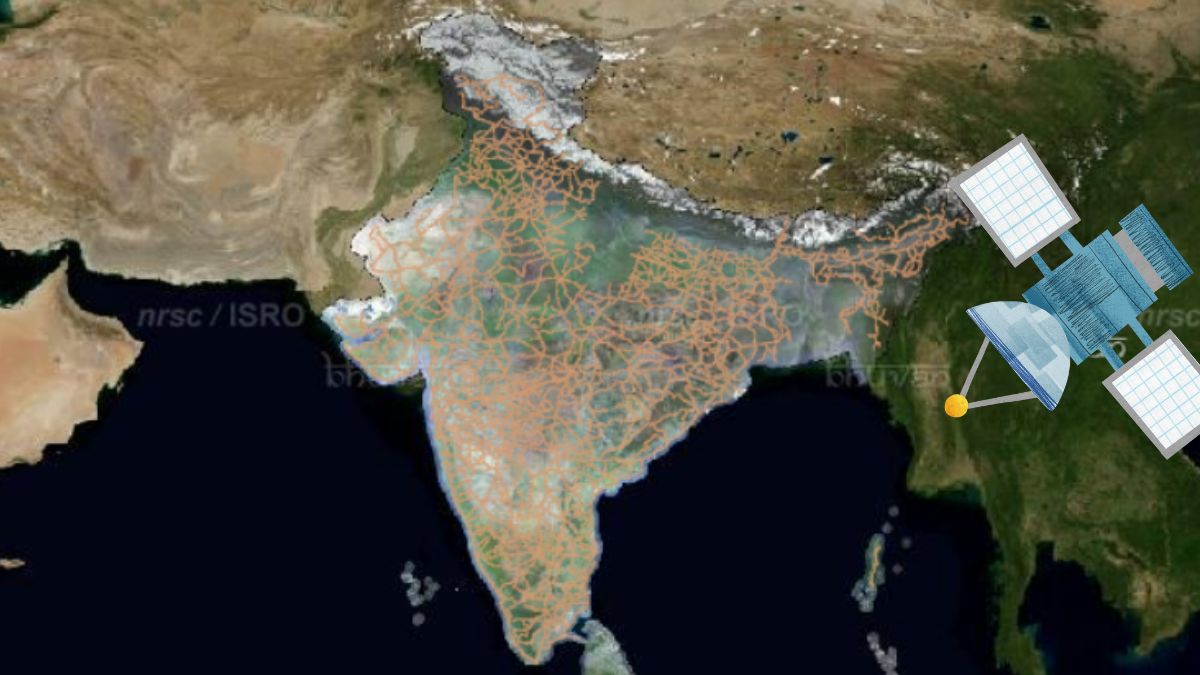
ISRO is working on making India's regional navigation system, NavIC, available to the public in the near future. Until now, this precise positioning system was mainly used for critical, strategic purposes, such as defence and other key government operations.
NavIC is expected to benefit civilians with its accurate navigation capabilities. NavIC, short for Navigation with Indian Constellation, was previously called the Indian Regional Navigation Satellite System (IRNSS). It is an independent satellite-based navigation system designed by ISRO to provide accurate positioning and timing information across India and nearby regions.
Interestingly, the NavIC system includes a group of seven satellites and a network of ground stations that work continuously, around the clock. NavIC offers precise location services across India and reaches up to 1,500 kilometres beyond the country's borders.
The NavIC system provides two types of services: the Standard Position Service (SPS), which is available to the public, and the Restricted Service (RS), which is reserved for critical, strategic purposes like defence. SPS is the open-access navigation service from NavIC that is available for all civilian users. It provides reliable and accurate location information for daily applications, such as navigation and mapping.
On the other hand, RS is an encrypted navigation service provided by NavIC exclusively for authorized users, like defence and government agencies, offering secure and precise positioning for strategic and sensitive operations.
NavIC to be open to public use via L1 band tech
ISRO's plan to make NavIC available for public use includes launching new satellites equipped with L1 band technology (1575.42 MHz). The L1 band enables improved signal strength and compatibility with common GPS-enabled devices worldwide. This upgrade will allow NaVIC signals to work on civilian mobile phones that have compatible chipsets.
"This effort is intended to make NavIC more accessible and increase its usefulness for everyday purposes. NavIC offers impressive precision, with location accuracy within 10 meters across India and up to 20 meters in nearby regions. Such precise accuracy is essential for many uses, like navigation, mapping, and location-based services," said space expert Girish Linganna.
'A dependable alternative to GPS'
"By allowing public access, ISRO is making NavIC a dependable alternative to global navigation systems like GPS, GLONASS, Galileo, and BeiDou. This reduces India's reliance on foreign systems and strengthens the country's navigation capabilities," explained Linganna.
This move will help advance new technologies like self-driving cars, drones, and smart city systems. These technologies rely on precise and dependable navigation to work smoothly. ISRO is focused on growing India's space industry, with plans to launch about twelve satellites each year by 2025, including six GSLV missions. This increased launch activity is expected to open up opportunities for private companies to participate and bring innovation in satellite technology and related services.
This move is also expected to have global implications as well. "Making NaVIC compatible with other global navigation satellite systems allows ISRO to enhance the worldwide navigation network. This compatibility ensures users around the world enjoy improved accuracy and reliability in their navigation services.
ISRO's efforts create opportunities for partnerships in space technology and navigation services with other countries. By sharing its progress, India can build stronger international relationships and encourage joint efforts in space exploration and technology," added Linganna.
Experts observe that with the planned civilian access to NavIC, India's navigation services will have a new dimension of autonomy and localized accuracy. NavIC's potential impact on agriculture, for example, is significant. India's farmers will be able to leverage accurate satellite data for precision farming, enabling them to optimize fieldwork, manage resources more efficiently, and increase crop yields. This access could particularly benefit remote and rural areas, where access to advanced farming technologies is limited.
Precise satellite data would allow farmers to make informed decisions, supporting better planning, yield forecasting, and sustainability in farming practices. In urban infrastructure and transportation, NavIC's expanded civilian access is likely to bring new opportunities for public and private sectors alike.
ALSO READ | Fully electric-propelled satellites that ISRO will launch in December
"By relying on a locally controlled system, India can improve its logistical operations, from managing public transit to optimizing last-mile delivery for businesses. For urban planners and government agencies, NavIC offers a robust tool for building "smart" cities, as it enables precise tracking and planning capabilities for infrastructure development, traffic management, and public services. Furthermore, the system's independence from foreign satellite networks ensures that these applications remain secure and reliable, even in cases of geopolitical tension. India's push toward using NavIC for civilian applications also aligns with the nation's broader strategic goal of technological self-reliance," pointed out Srimathy Kesan, founder and CEO of Space Kidz India, which is into design, fabrication and launch of small satellites, spacecraft and ground systems.
With NavIC's data, Indian companies and startups can now develop home-grown navigation services that can compete with foreign offerings, creating new business opportunities within the tech sector. "Startups, in particular, stand to benefit, as they can tap into NavIC's resources to develop apps and services optimized for Indian consumers. This initiative stands to reshape agriculture, urban planning, public safety, and tech innovation, bringing the benefits of cutting-edge satellite technology directly to Indian citizens and paving the way for a more self-sufficient and resilient future," added Kesan.


