Cyclone Ockhi, whose effects are still being felt on the western coast and even deep inland, was a rarity, as cyclones go, said M. Rajeevan Nair, secretary, Earth Sciences. This is only the third time since 1891 that a cyclone has taken such a peculiar route.
In an exclusive interview with THE WEEK, Nair explained that almost everything about Ockhi, right from its inception, was atypical. Ockhi formed very near the equator, five degrees south. The equatorial zone is not typically the place where cyclones are seeded, given the earth's rotation and shape. Cyclones begin developing at least seven degrees north or south of the equator, and a typical cyclone develops at around 10 degrees.
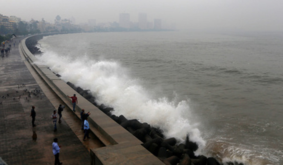
Then, Ockhi, which means eye in Bangla, took an unconventional course. Though it originated off the south eastern coast of Sri Lanka, and was technically a Bay of Bengal cyclone, it moved along the island's south western and western coastline, over Lakshwadeep and then moved up along India's western coast, thus becoming an “Arabian Sea cyclone''. Ockhi has brought heavy rainfall to southern Tamil Nadu and Kerala, and has battered the Maharashtra and Gujarat coastline, before weakening into a low pressure area over the Gulf of Khambhat by December 6.
“It is a rare occurrence, but not unheard of,'' Nair said, adding that in recent years, the Arabian Sea had got more active in terms of cyclones than it was before. “This activity is well documented since at least 15 years. Previously, there was one big storm in seven years in the Arabian Sea close to the coastline. Now, this happens every second or third year.'' What has caused this change? “There are a number of theories, from climate change to surface temperatures to aerosols. It could also be the Arabian Sea's own cyclicity.''
The Bay of Bengal is more active cyclonically for various reasons, from the temperature of the oceans to the shape of the sea itself. In a year, at least three cyclones develop in these waters, and usually make landfall in the northern part of the east coast, or even Bangladesh. Thus, states like Odisha, Andhra Pradesh and Tamil Nadu have an efficient system of relaying the cyclone warnings and in the last few years, the losses have come down markedly, even during massive cyclones like Hud Hud (October 2014) and Phailin (October 2013).
So why was it that so many hundreds of fishermen were stranded in the open sea and had to be rescued this time? “I can't say. Our tracking of the cyclone began early enough and we were able to relay the information too as per the usual time frame. However, I do agree that the speed at which Ockhi moved did create a shorter reaction time,'' Nair said.
India has a sophisticated cyclone warning system, which is being continuously updated. “Our latest suite of models is on par with the best on the world, we have a good observation system, with coastal radars and US satellites that pass through our region.'' In fact, India's cyclone warning system was last updated this monsoon itself with the installation of the Global Forecasting System, a collaboration with the US. These are mathematical systems, which use the supercomputers in Pune and Noida, and give a resolution of 12km, which is a very high resolution.
Under a further upgradation, India has earmarked Rs 450 crore for additional machines at the Noida and Pune centres. “The resolution will remain at 12km, but with these machines, we will be able to form up to 40 forecasting scenarios. This will make our predictions even more sensitive,'' Nair said.
Current cyclone forecasting begins even before the cyclone actually forms. The most sophisticated forecasting anywhere in the world can predict a cyclone formation at best a week in advance, though generally it is five to six days.


![[File] Ockhi, which had hit Kerala and Tamil Nadu on November 30, claimed several lives and caused widespread damage | PTI Cyclone Ockhi: Naval ships searched over 4.5 lakh sq miles](/content/dam/week/news/india/2018/january/ockhi-kanyakumari-file-pti.jpg.image.234.136.jpg)


